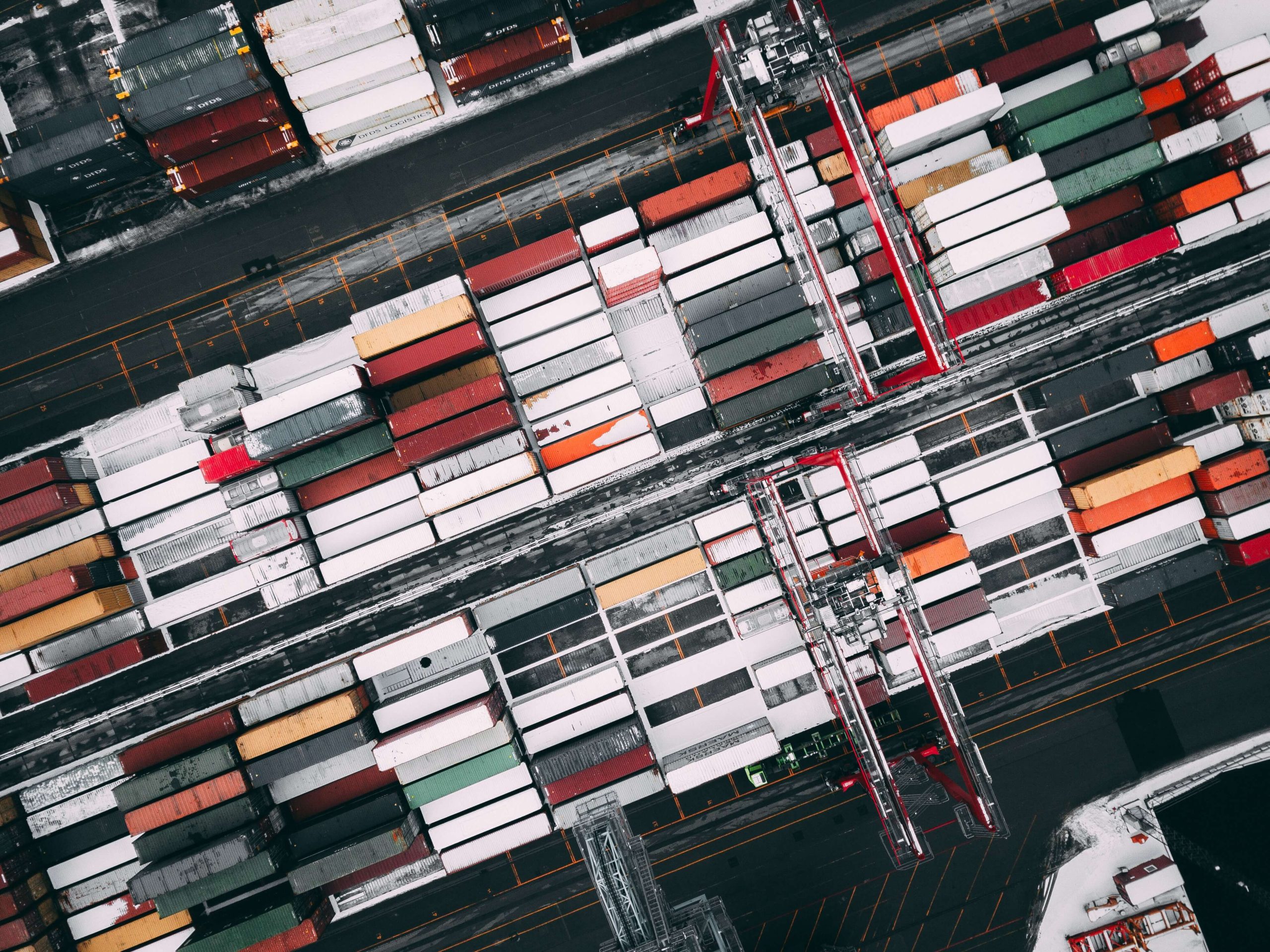
Konténerszállítás vasúton: amit tudni kell
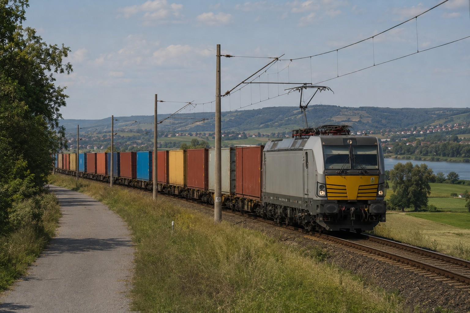
Miért válasszuk a vasutat?

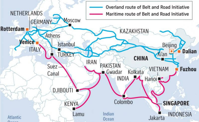
Miért válasszuk a vasutat?
Hogyan kerüljük el a hibát? Mutatjuk, mire kell figyelni.
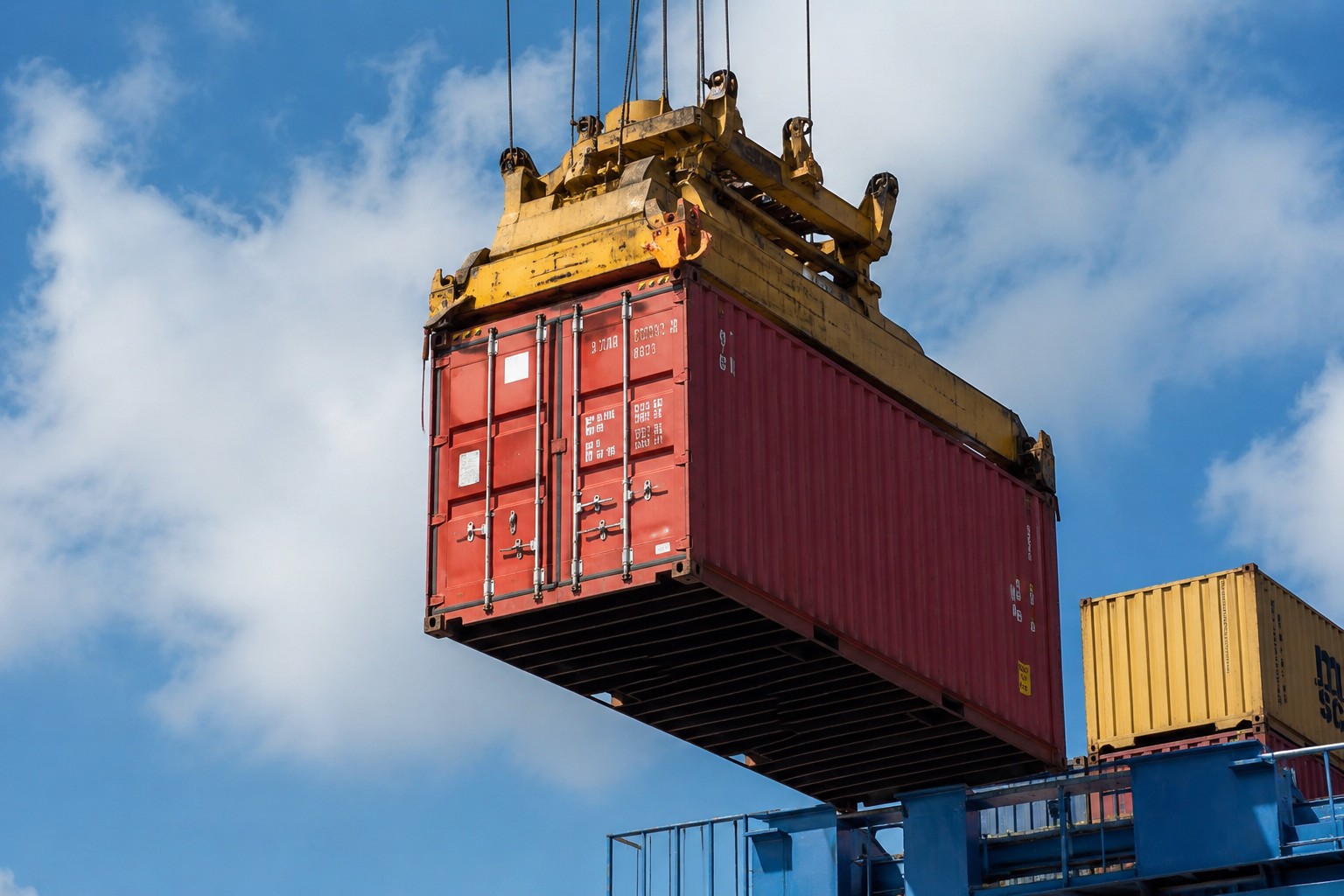
It seems that everything is known about shipping containers: they are strong steel boxes for transporting goods. But behind the external simplicity lie facts that can surprise even experienced logistics professionals. Here are five of the most interesting ones.
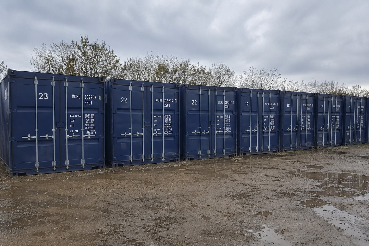
A tengeri konténer nemcsak kényelmes tárolási vagy műhelymegoldás, hanem kész befektetési eszköz is. Az ötlet egyszerű: vesz egy konténert, és kiadja bérbe. Az igény az ideiglenes raktárhelyiségek, építkezési munkásszállások, szezonális tárolás iránt stabil, sőt növekvő. Nézzük, mennyire jövedelmező ez a befektetés, és mennyi idő alatt térül meg a konténer.
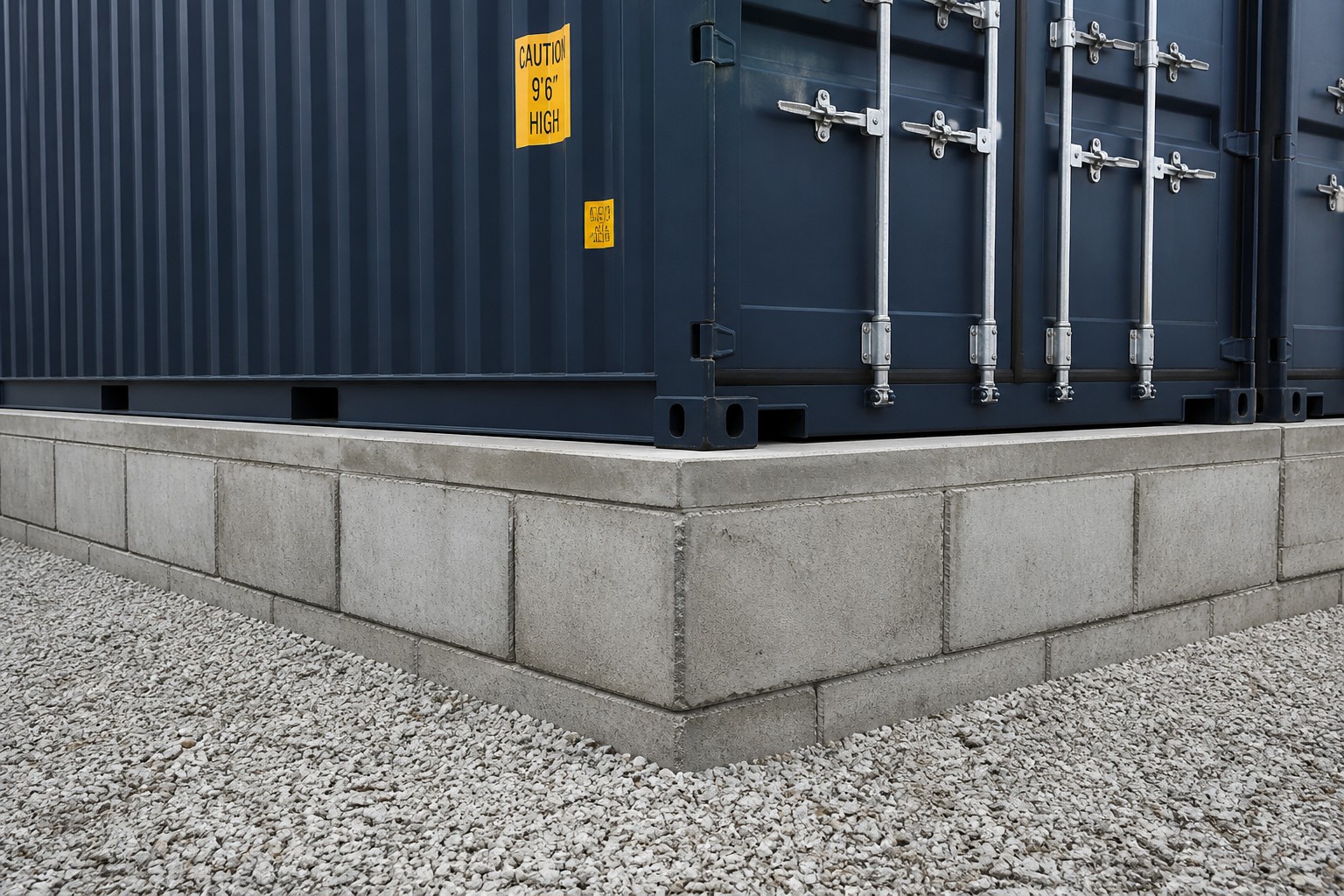
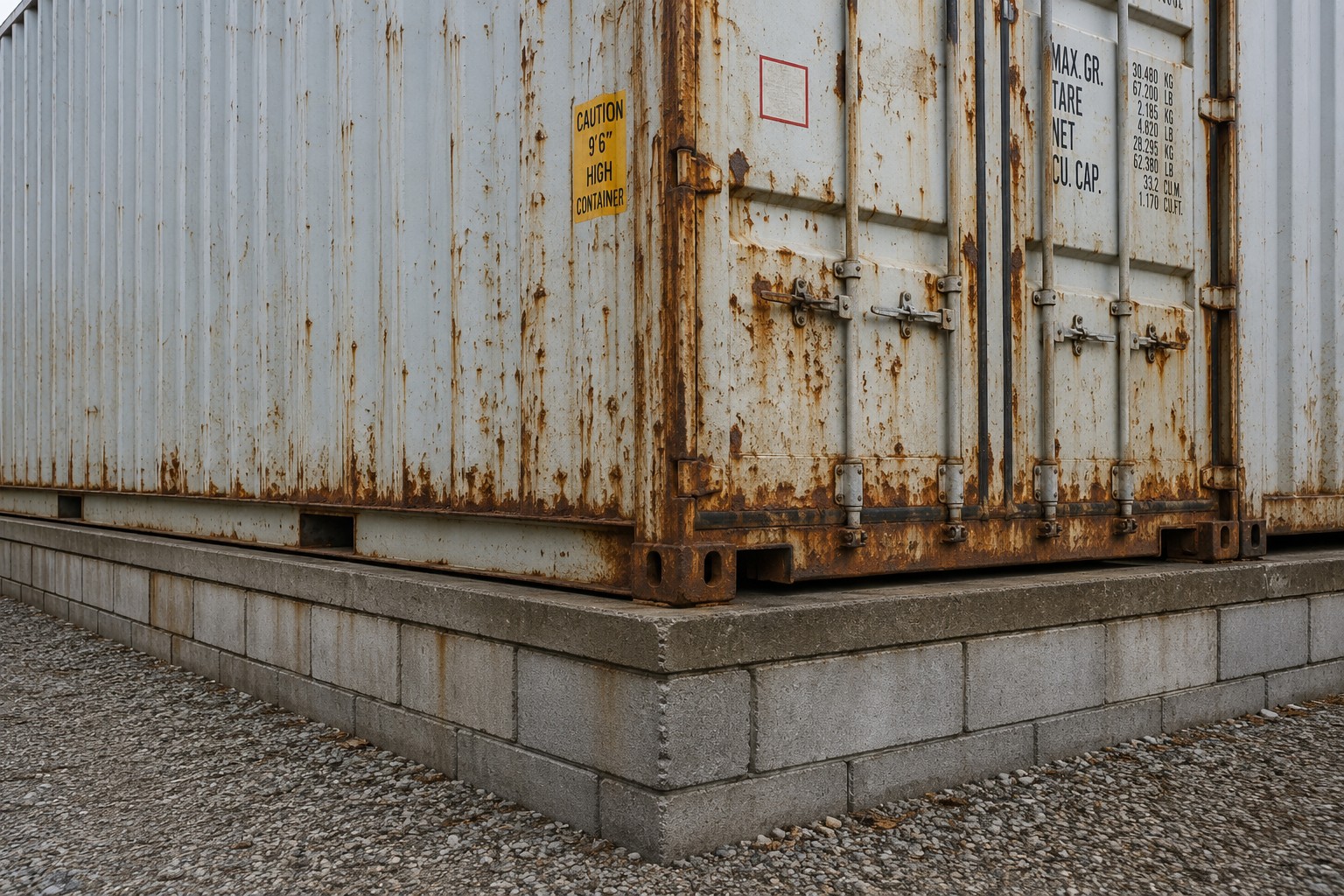
Ön vásárolt egy CW konténert – megbízható megoldást tárolásra, műhelynek vagy egyéb háztartási célokra. De ahhoz, hogy a konténer hosszú évekig szolgálja Önt, fontos, hogy helyesen telepítse.